Albuquerque to Ruidoso: The Complete Road Trip Guide
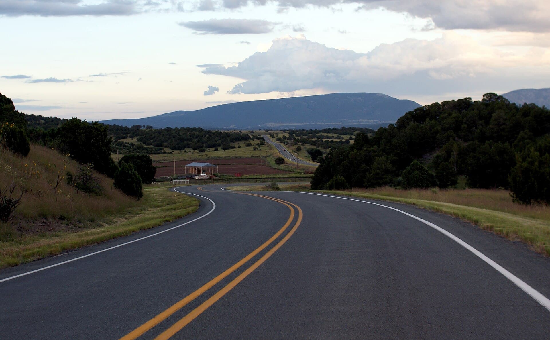
The drive from Albuquerque to Ruidoso is about 200 miles and takes roughly three hours depending on your route and how many stops you make. I have driven it more times than I can count, and it is one of those drives that starts as a commute and ends as a landscape you feel grateful to have been inside of.
The route takes you from the Rio Grande Valley, through the high desert of central New Mexico, across the Tularosa Basin, and up into the Sacramento Mountains. The elevation change over the last 30 miles, from around 4,500 feet at Tularosa to nearly 7,000 feet at Ruidoso, is one of the most satisfying climbs in the state.
The Main Route: I-25 South to US-380
The fastest and most direct route is I-25 South from Albuquerque to San Antonio (the New Mexico one, a tiny junction town, not the Texas city), then US-380 East through Carrizozo to Ruidoso.
Albuquerque to Socorro: About 75 miles on I-25, mostly flat and fast. Socorro itself is a small university town with a decent diner and a historic plaza. If you need coffee before the more rural stretch, Socorro has a few options. The Socorro Springs Brewing Company is worth a stop if you are not in a hurry.
Socorro to San Antonio junction (US-380 turnoff): 10 more miles south on I-25. The junction is at Exit 139. Turn east onto US-380 here.
US-380 through the Valley of Fire: About 12 miles east of the junction you will pass through Carrizozo, the Lincoln County seat. East of Carrizozo, the Valley of Fires Recreation Area is a black lava flow that erupted around 5,000 years ago. The contrast between the black basalt and the white gypsum sands visible in the distance is specifically strange and beautiful. The BLM recreation area has a short interpretive trail if you want to stop.
Carrizozo to Ruidoso: Another 45 miles east on US-380 through Corona, Capitan, and then down into the Rio Bonito drainage toward Ruidoso. The mountains start rising ahead of you around Capitan and the last 20 miles climb into the pines.
Total time on this route: approximately 3 to 3.5 hours.
The Alternate Route: I-25 to US-70
The second option goes further south on I-25 to the US-70 junction near Hatch, then US-70 East through Alamogordo and the White Sands area to Ruidoso.
This route is about 30 to 45 minutes longer but gives you the option to stop at White Sands National Park (25 miles from Alamogordo, $25 vehicle entry). It also takes you through the Tularosa Basin, which is a vast and impressive piece of New Mexico desert with the Sacramento Mountains rising sharply on the eastern horizon.
Alamogordo, about 90 minutes from Albuquerque on this route, has better food options than Carrizozo. The International Space Hall of Fame there is also worth 45 minutes if you have kids or a genuine interest in the history of rocket science in New Mexico.
From Alamogordo, US-70 climbs east into the Sacramento Mountains through Tularosa and then up the mountain into Ruidoso. This last stretch, roughly 45 miles, is scenic and winding in the best way.
Stops Worth Making
Socorro Owl Bar: This is the legendary green chile cheeseburger spot on the plaza in Socorro. If you have never had it, and many New Mexico road travelers consider it a pilgrimage stop, the line out the door on weekends tells you everything. Cash only. Green chile cheeseburger, one choice.
Bosque del Apache National Wildlife Refuge: About 7 miles south of Socorro off I-25. In late summer and fall, the marsh and grassland areas of the Bosque hold large numbers of shorebirds and waders. If you are a birder or traveling with one, a one-hour detour here is worthwhile. The auto tour road is free.
Carrizozo and Valley of Fires: As noted above. The lava flow is genuinely striking and takes no more than an hour to explore at the recreation area.
White Sands (alternate route only): If you are taking the southern US-70 route, White Sands is an obvious and spectacular stop.
Practical Driving Notes
Gas up before leaving Albuquerque and again in Socorro or Carrizozo. Stretches of US-380 are genuinely remote, with 30 to 40 miles between services. Do not let the tank get below a quarter tank on this drive.
Cell service on US-380 between the I-25 junction and Carrizozo is sparse. The I-25 and US-70 corridors are better covered. Download your directions offline if you are using a maps app.
Speed limits are enforced on US-380 and especially in the small towns. Capitan and Ruidoso proper both have active enforcement. Slow down when you hit the villages.
The drive into Ruidoso on US-380 from Capitan is the last 20 miles and it involves elevation gain on winding two-lane road. If anyone in the car has motion sensitivity, this is the stretch to know about. It is beautiful but not straight.
The Arrival
Regardless of which route you take, the arrival into Ruidoso follows the same pattern. You come around a curve and suddenly you are in tall ponderosa pines instead of the desert scrub you have been driving through. The air is noticeably cooler. The elevation has made itself known.
That transition, from desert floor to mountain forest in the span of a few miles, is one of the small reliable pleasures of this drive. You feel it every time.
When you pull into 2nd Street Retreat after three hours on the road, the cabin is ready, the air is 20 degrees cooler than Albuquerque, and the mountains have done what they always do: made you glad you came. Leave the luggage in the car for a few minutes. Step outside first. That is the right order of operations.